Keswick Marsh
This is one of the more recent maps of the Marsh, so we do not have a good comparison over time yet. Two layers are available: the top layer is a standard GeoTIFF map, which looks like 2D but includes elevation so that terrain heights can be measured. The next layer is an elevation map that depicts terrain height, with highest being redder and lowest being dark blue or purple. At the top right of the map, there is a layer selection button that allows you to select, de-select any available layer. As we add maps to the location, you will be able to compare later maps with earlier maps to detect any changes in the fields.
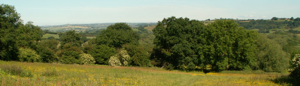
Ox Close Wood
It took several tries and a couple of days of effort to capture the first summer map of Ox Close Wood with the old Mavic 2. By contrast, the latest Winter map with the Mavic 3 Enterprise required a few hours of preparation and about an hour on station to capture the photos for the map. Fewer photos were required to get higher resolution 2D and 3D maps with excellent alignment without extra post-processing.
Keswick Fitts
This map was captured recently with the Mavic 3 Enterprise and shows better detail than maps made with the old Mavic 2. The upgrade proved to be worth the cost. As with the previous maps, two layers are currently in place; a GeoTIFF map and an elevation map.
Composite of Ellikers, Greenfields, and Frank Shire’s Meadow and Quarry
This composite includes several independent maps made at two different times of year. Some maps were captured by the Mavic 2, others by the Mavic 3, hence the inconsistencies. Future maps will be captured in one pass, eliminating the sometimes-uneven borders where the maps overlap and providing improved consistency of light and colouring. There are quite a few layers. Select and deselect layers to experiment with model comparison.
Bardsey Fields
All but one of the Bardsey Fields maps were capture by the old Mavic 2 drone and those field captures were divided into two multi-battery missions performed on different days. All future maps will be captured by the Mavic 3 Enterprise and the transformations will be dramatic initially and over time. There are a number of layers and the two earliest captures of the upper and lower fields are a great capture of the untouched fields relatively soon after acquisition by the Trust. The most recent capture was actually the result of a failed mission, where the flight management software crashed mid-flight. Fortunately, the bottom half of Bardsey Fields was captured and processed. You’ll notice that on this winter capture, the Sun is much lower on the horizon, so there is much more shadowing. Also, there has been an enormous amount of work performed on the field to get it ready for grazing as well as the digging of a number of ponds on the northern end of the field. If you zoom in, you can see the new fencing, including still-incomplete sections. This capture will be replaced by the next full-capture of the field as soon as possible.